John L's
Black River Falls Photos – Page 2
Click on images for full view in separate window.
If you are running Netscape 4.x, click here.
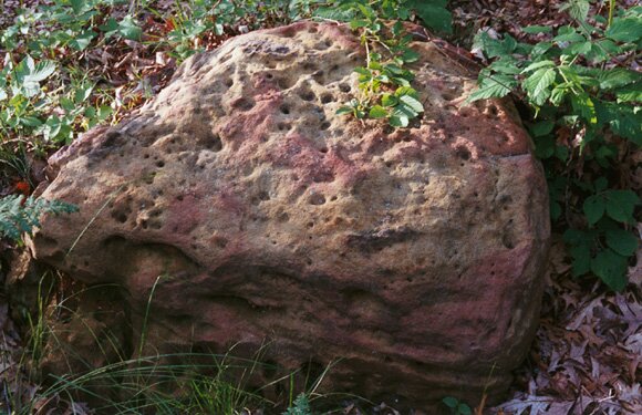 11 |
 12 |
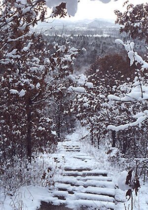 13 |
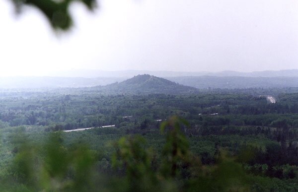
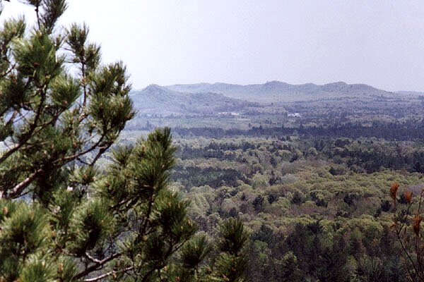
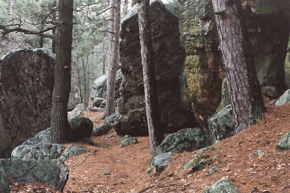
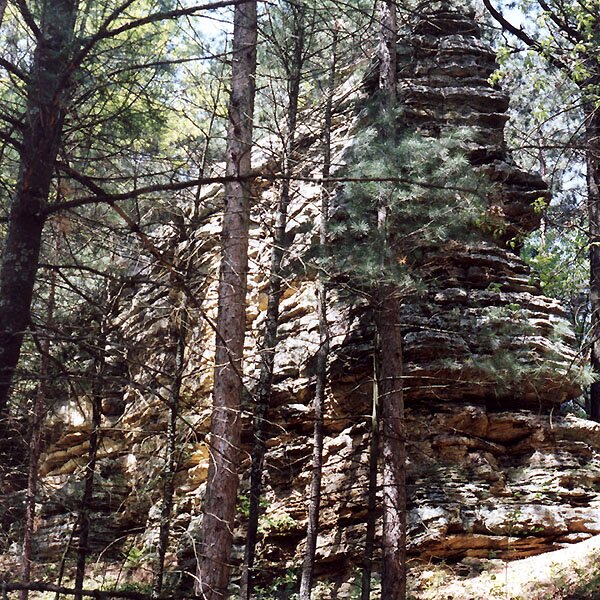
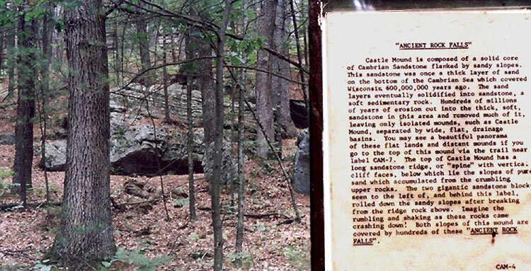
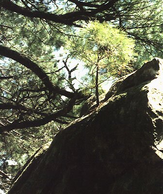
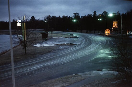
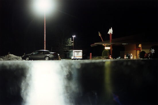
Photos 11-17: On Bell Mound. 11 – A fine specimen of sandstone along one of the trails. 12 – The final leg up to the summit at about a 40 to 45-degree angle. 13 – A view down the steps in the winter, looking toward the south. While climbing up and (especially) coming down the hill are certainly not recommended when the trails and "stairs" are snow-covered (even when you think you know where to step), wet leaves and loose pine-needles are the biggest hazards – snow or no snow. Speaking of no snow, here is a view toward the summit photographed on January 3, 2003. (The pedestal once held a map of the area observable from the top.) 14 – From the top, one can look north and see half-way into Clark County. In this shot (taken with telefoto lens) is seen the Neillsville water tower, about 20 miles to the north. 15 – An autumn view from the top. Two more such views are shown here and here. 16 – Bell Mound can cast a fairly impressive shadow as seen in this photo from the summit, taken about 3:15 PM on January 9, 2004. 17 – A view of Castle Mound, located about 5 miles to the northwest at the edge of Black River Falls. Photos 18-25: On Castle Mound. 18 – A reciprocal view of Bell Mound taken from the observation platform on Castle Mound. 19 – A foggy sunset view in April, 2001. 20 – A view of some of the steps leading up to the observation tower. (Going up is the easy part.) 21 – Here is my favorite spot on Castle Mound. In this rainy-day shot (taken April 20, 2001) one can almost imagine King Arthur & Co. about to ride into view. 22 and 23 – More rock formations. 24 – One cannot overlook the little things at such sites as these. Here a small rock is captured by some underground plant life. A closer view is shown here. 25 – Various species of trees can be seen emerging from cracks in the rocks. Photos 26-28: Some Closing Shots. 26 and 27 – Aftermath of an ice storm on the evening of March 14, 2002. A ground-level view of a motel parking lot is shown in Photo 27. The always reasonably-priced motels in the Black River Falls areas became refuges for quite a few Interstate sliders that evening. 28 – Under previous management, as shown here in this 1999 photo, the historic Hatfield Canal was allowed to drain out. Now the canal is once again filled, with generation of electric power as its intended function. |
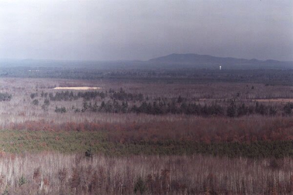 14 |
 15 |
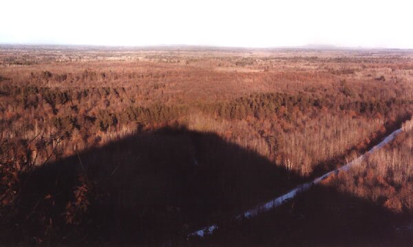 16 |
|
 17 |
 18 |
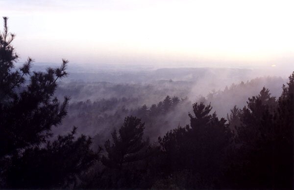 19 |
|
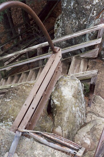 20 |
 21 |
 22 |
|
 23 |
 24 |
 25 |
|
 26 |
 27 |
 28 |
|
Black River Falls time & weather: Hit Reload to update. |
 Return to