|
John L's Old Maps / Supplementary Pages: Views of the Apostle IslandsPage XII: More Photos of the Apostle IslandsClick on images to see full view in separate window. |
|
 See the MENU
 |
Rather than going back to previous pages to squeeze in additional, relevant photos from my continuous visits to the area, I'll just keep adding more at the end here (not in any particular order). |
|||
 1 |
 2 |
 3 |
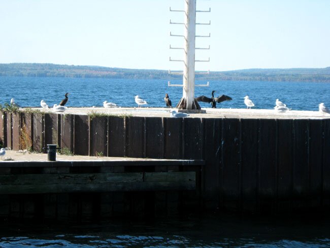
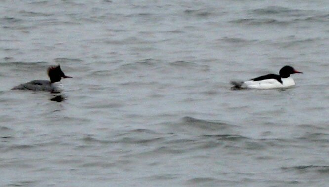
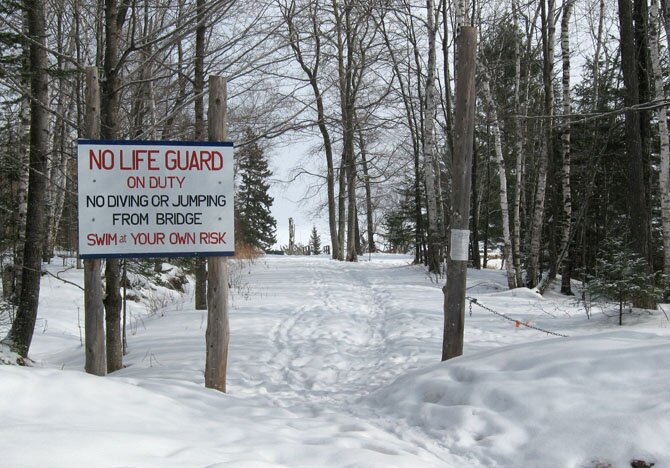
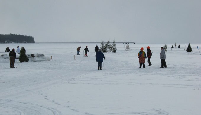
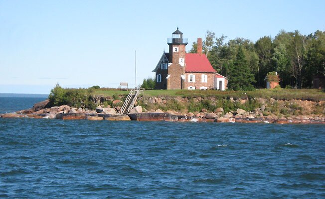
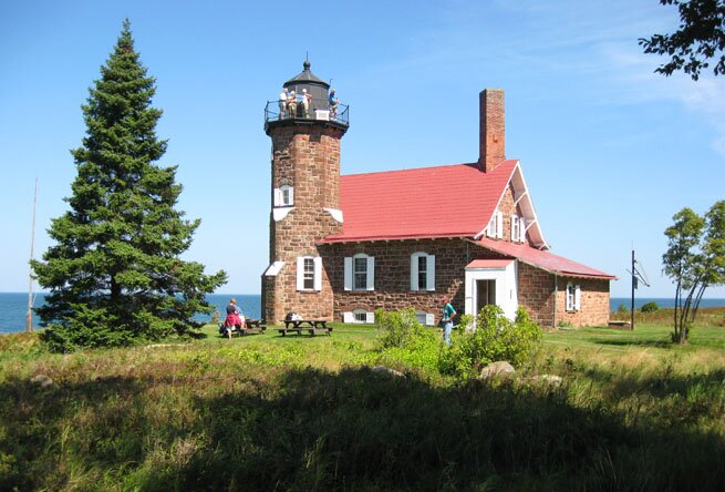
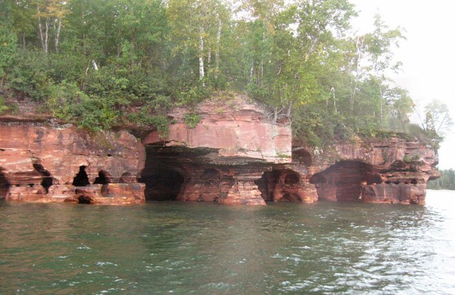
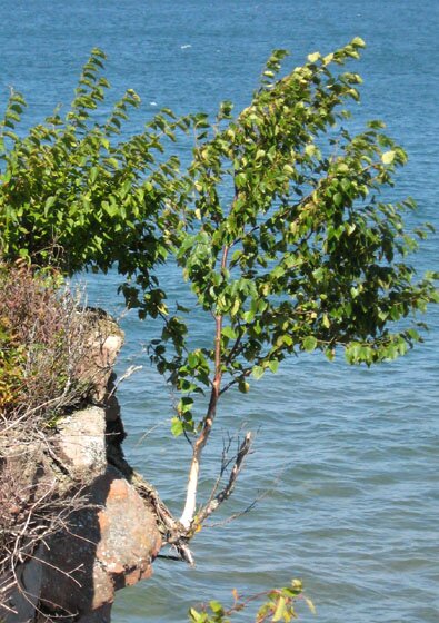
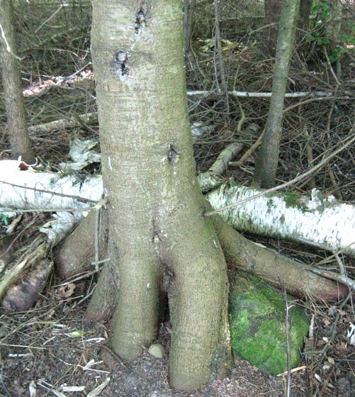
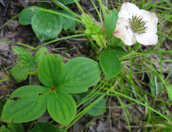
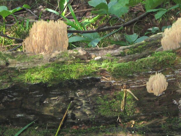
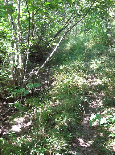
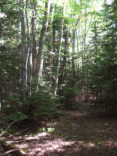
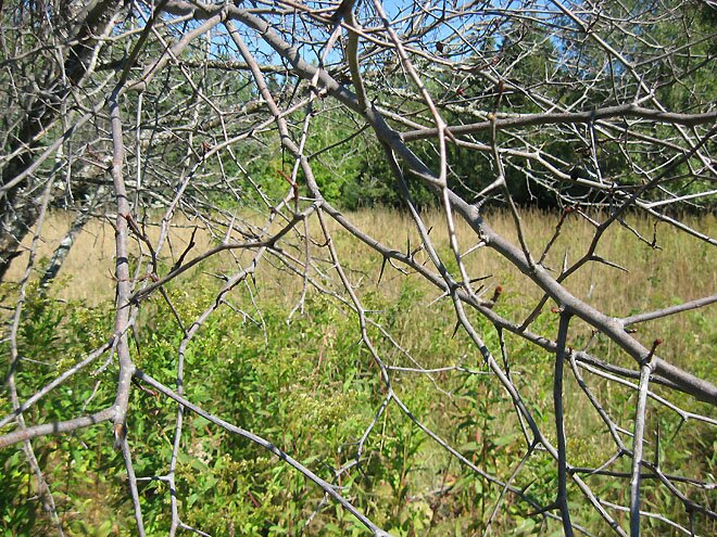
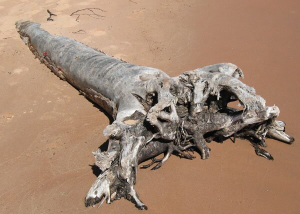
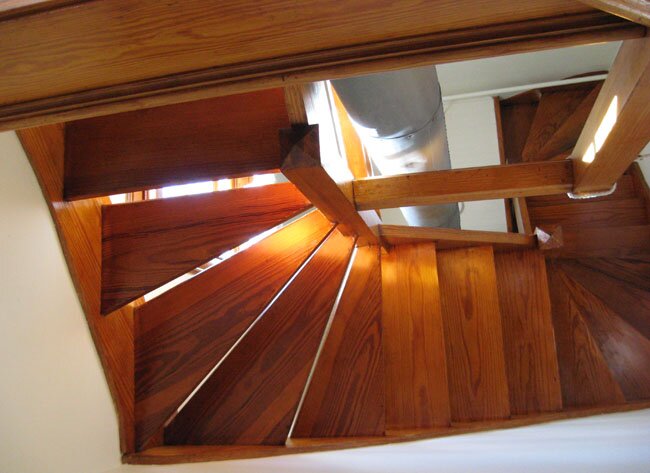
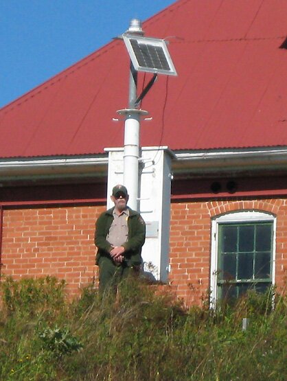
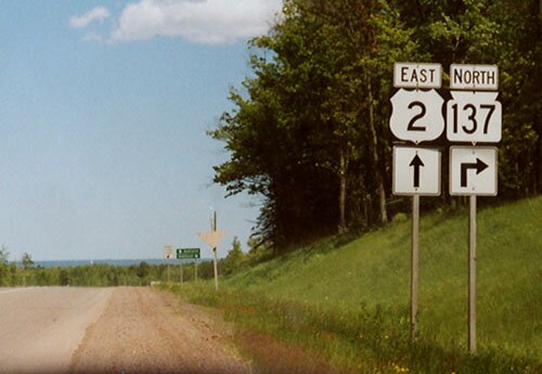
Photos 1-7: Madeline Island.1: A mixed flock of gulls and black cormorants is a common sight throughout the Apostle Islands. 2: Here is a pair of goosanders. 3-5: A few scenes around Big Bay in the winter. 6: The "Big Ice Golf Tournament" is held annually near the LaPointe docks. 7: Driving back to Bayfield on the ice road in February, 2009. Photos 8-23: Sand Island.8-10: Views of the lighthouse. 11: The caves at Swallow Point – just south of Justice Bay. 12-13: Nothing stops trees from growing where they see fit to do so. 14: Here is an interesting flower I have yet to identify. Some detail is shown here. 15: A telefoto view of coral fungi in an area that I didn't wish to trample. Another view is shown here. 16-17: The path to the old Noring Farm, located about 0.3 miles from the East Bay dock. It is easy to get off the trail and then wander in the brush for awhile before finding it again. The path was originally a one-lane road bordered on each side by a ditch. One rut remains as the path. 18-19: A couple clearings which remain visible at the Noring Farm. Apparently the thornapple trees are still living, but they had lost nearly all of their leaves by the time of my visit in mid-September, 2011. 20: A sign of a very recent bear visit. 21: Driftwood on the beach. 22: The ranger's residence near the shore. This scene reminds me of lyrics to an old Pixies song. (You may know which one!) 23: A telefoto view of Raspberry Island and its lighthouse from the East Bay beach, a distance of approximately six miles. The tall island on the right is the more distant Oak Island. Photos 24-26: Raspberry Island.24: The Raspberry Island Lighthouse in September, 2010. 25: Here – seen from below – is the wooden spiral staircase of the lighthouse. 26: Ranger Jim is standing by the newer solar-powered light which is located in front of the building next to the lighthouse. (I'm on the tour boat by the dock, testing the telefoto capabilities of my new digital camera.) Another shot of Ranger Jim is here where he is pointing out some sights toward the west from atop the lighthouse. Photos 27-28: More area shots.27: U.S. Highway 2 is a road that crosses the country in a west-east direction. At this point, Hwy. 2 is correctly designated as heading east. Why State Highway 137 is shown as a "north" highway is beyond me, as it heads east from here – throughout its short length – and does not cross Hwy. 2 to go north. The opposite view of this junction is shown here. I gotta find a place and some time to go figure. 28: In my meanderings around the area, I came upon a tree growing through a bicycle frame. The metal tag on the bicycle is shown here. |
 4 |
 5 |
 6 |
|
 7 |
 8 |
 9 |
|
 10 |
 11 |
 12 |
|
 13 |
 14 |
 15 |
|
 16 |
 17 |
 18 |
|
 19 |
 20 |
 21 |
|
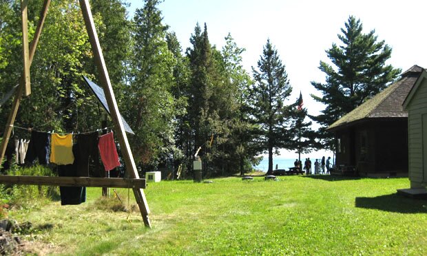 22 |
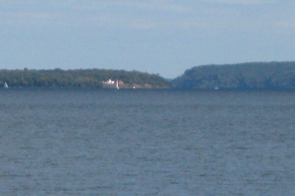 23 |
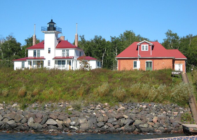 24 |
|
 25 |
 26 |
 27 |
|
 28 |
|||
|
" More Apostle Islands photos: |
This page is best viewed at 640X480 or wider. All photos on these pages are by myself unless noted otherwise. This page was last modified on 10/17/11 at 10:45 AM, CDT. John Lindquist: homepage, complete site outline. University of Wisconsin – Madison |
|
|
Spaces inserted into email address to discourage spambots. Please remove before using. |
||